

The Trump administration has paused work on a new database that would provide Americans with precise estimates of the likelihood of extreme precipitation events in a warming world — a warning of their new flash flood risk.
This database would, for the first time, take the influence of climate change into account when making precipitation frequency estimates. It would help people understand their risk, and pave the way for significant cost savings when designing and building infrastructure projects, rather than planning based on data from decades ago, as is currently done.
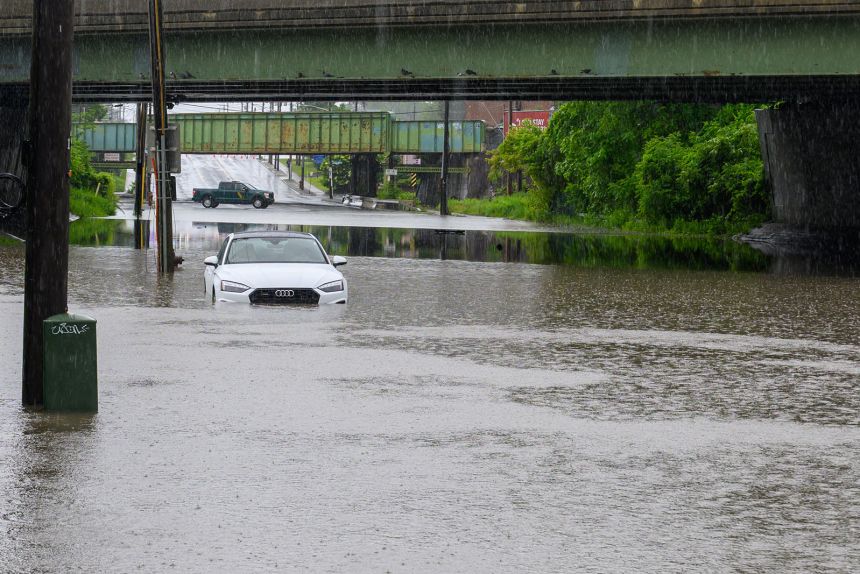
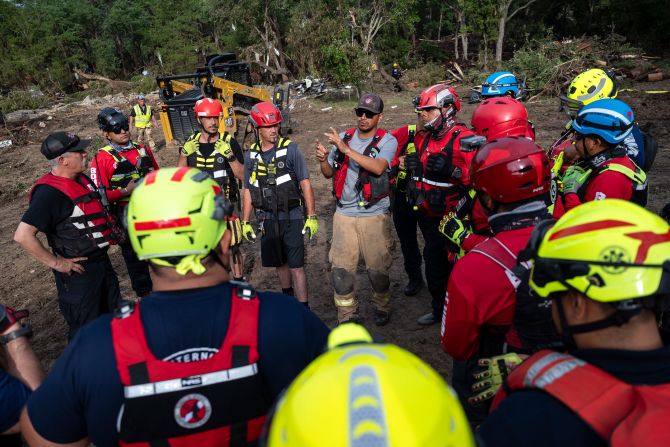
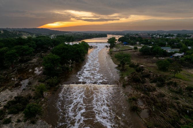
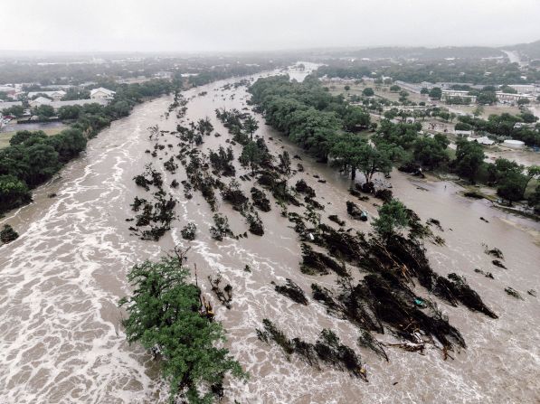
The pause, which was first reported by the Washington Post and confirmed by CNN, comes as flash floods from historic deluges have struck from New Mexico to New York City. More than 130 people are confirmed dead in Texas after July 4th’s deadly flash flooding, with around 100 people still missing.
Global warming is increasing the frequency and severity of extreme precipitation events, yet civil engineers, contractors, insurers and everyday property owners currently rely on an outdated database, known as Atlas 14, showing precipitation frequency estimates. This forces builders of roads, bridges and other infrastructure to design their projects with an assumption that the worst rainfall events are occurring less frequently than they actually are.
In short, builders are constructing infrastructure for a climate that no longer exists, and homeowners are purchasing new homes without understanding their full risk of costly and deadly flooding.
The second, more forward-looking phase of the Atlas 15 project is the one that’s been paused, according to an official at the National Oceanic and Atmospheric Administration who was not authorized to speak on the matter, but it is possible that the overall project’s deadline of 2026 could still be met if funding for it is allocated. Funding for the first phase of the project was provided during the Biden administration.
The first volume, which contains updated precipitation extremes estimates but omits climate projections, is due out by the end of 2025, and work on that is continuing, the official said.
The two phases are designed to eventually produce a national, interactive database of precipitation frequency estimates, including future projections, such as the statistical likelihood of a 100-year rainfall event at a particular spot each year. (A 100-year rainfall event is one that is so intense, it is only expected to occur once every 100 years on average. Some people also refer to these events and their impacts as “century floods.”)
The use of outdated precipitation frequency estimates can have costly consequences when infrastructure is destroyed by a flood that used to rarely occur, but now in a warmer world, it is far more likely.
According to NWS spokesperson Erica Grow Cei, the first volume is on schedule to be released by the end of the year and will itself be a “huge advancement” from what meteorologists and engineers use today, which is outdated and inconsistent across the country.
“This will be a consistent baseline for everybody,” she told CNN.
As for the second volume, which would contain the precipitation-related climate projections, she said: “Volume 2 is under review.”
“Under the Trump Administration, NOAA is committed to producing gold-standard research products that produce the best, most accurate data to serve the national interest, protect public safety, and provide the greatest value for our taxpayers,” said NOAA spokesperson Kim Doster in a statement.
Atlas 15 is supposed to move NOAA, and those who depend on the agency, from an assumption that the climate is stationary, to a recognition that precipitation extremes are in the process of changing due largely to the burning of fossil fuels for energy and transportation. A pilot phase of Atlas 15, containing present day precipitation risk estimates solely for the state of Montana, was released last year. It also shows how rainfall rates for 100-year events could increase with continued global warming.
It contains projections for precipitation frequency estimates at 3 degrees Celsius of global warming as well as 1.5 degrees of warming. The world has already warmed by around 1.2 degrees.


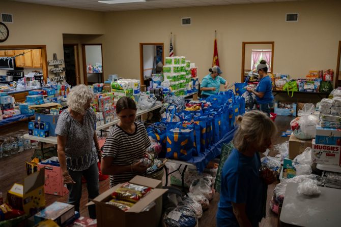
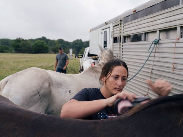
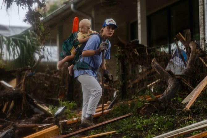

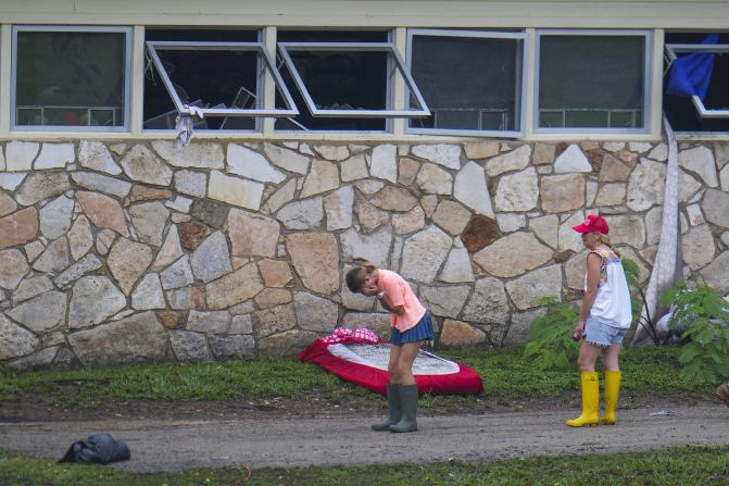
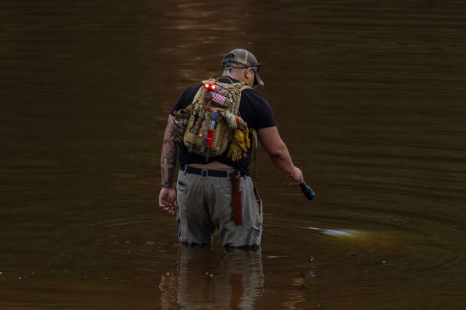


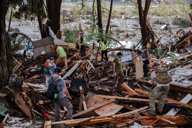


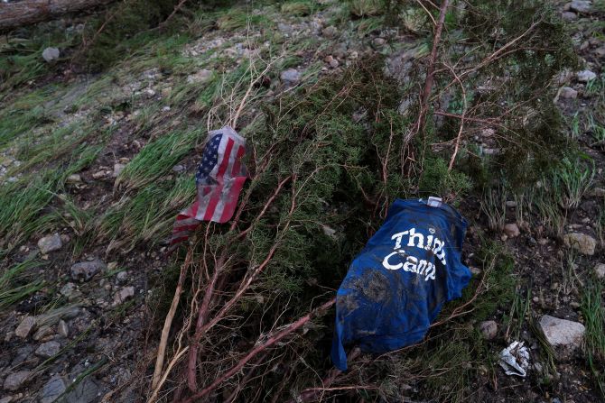
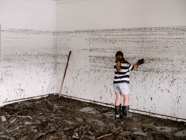

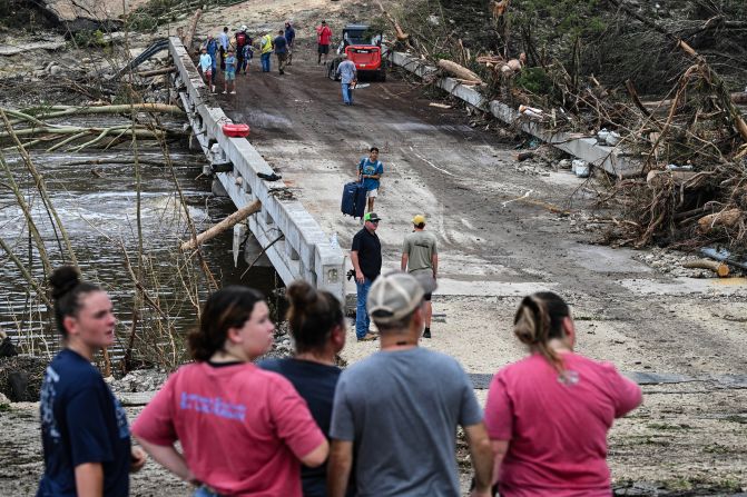
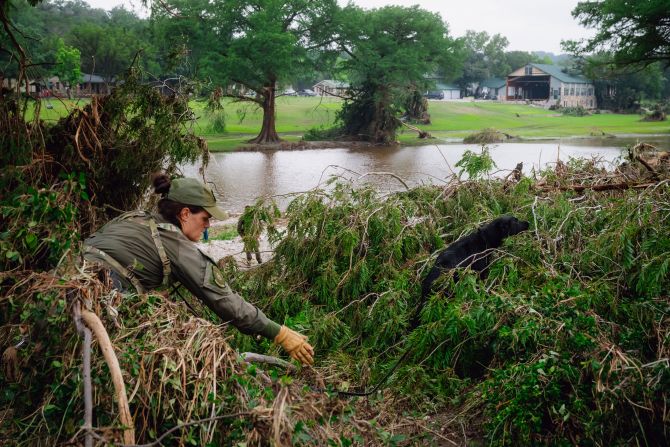


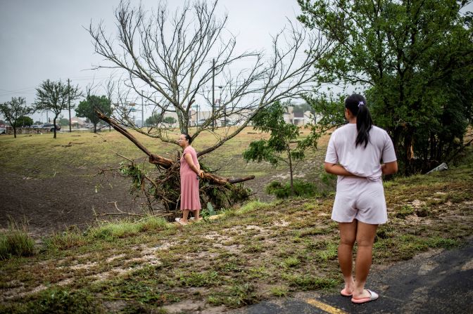


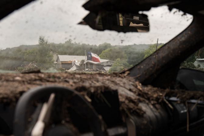


In pictures: Deadly flooding in Texas
Dan Walker, who co-chairs the American Society of Civil Engineers-NOAA task force on climate resilience in engineering practice, said he is aware the second part of Atlas 15 has hit some turbulence, likely due to its invocation of climate change.
“From my perspective, doing Volume Two is not nearly as expensive and labor intensive as doing volume one,” Walker said. “So I think Volume One is the heavy lift. Volume Two is more of an ideological lift.”
“This isn’t about trying to scare people about, you know, changes in the climate,” he said.
“This is about engineers and businesses and public works, making the best informed decisions possible so that we’re not in a situation where we build something today, and in 20 years we have to go back and retrofit it or we’re having, you know, storm water control problems, or we’re having flooding problems, because we under-designed.”